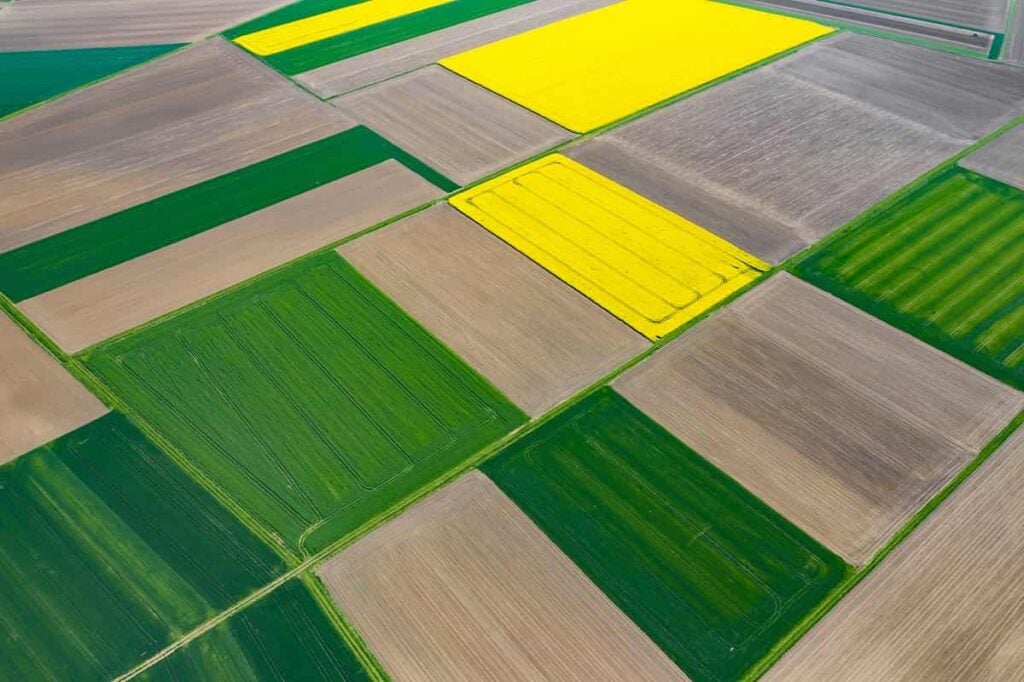
Precision Ag Uses AI on Imagery from Drones, Satellites


Table of contents
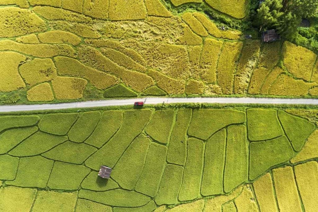
We consider our readers shareholders in Nanalyze, and those who kick in some money through a Nanalyze Premium subscription have limited voting rights. Namely, you tell us what rabbit hole relevant topic you want us to investigate, and we’ll release our team of rabid MBAs. So that’s why we’re going to dive right into the topic of automating imagery analysis in agriculture. It’s a much more exciting story than it sounds, involving death-dealing drones (sort of), some high-flying satellites (most definitely), and lots of sophisticated algorithms (of course) and other software.
Drone Imagery for Precision Ag
The original idea was to check up on what drones were doing back on the farm. A number of drone startups emerged in recent years with the idea to deploy flying cameras and other sophisticated sensors that can collect data ranging from crop health or plant disease to real-time livestock monitoring. On the back end, computer vision, machine-learning algorithms or other clever bits of software may scan the images for different types of analyses. Apparently, 2015 was the heyday for this type of technology in agriculture, when funding to agri-drone startups (including ones for spraying fields) hit $326 million, according to AgFunder News. Since then, not so much.
That doesn’t necessarily mean the market for drone mapping technology in agriculture has completely dried up.
For instance, we came across an early-stage startup out of Israel called AgroScout that raised $3 million in a Seed round last year, bringing total funding to $3.3 million since the company was founded in 2017. Not a lot of money, but AgroScout’s business model is based on appealing to the frugal farmer who needs only a smartphone and a small off-the-shelf commercial drone to get started. The company’s AgroScout Sky app does the rest by integrating data collected by drones using AI technologies like deep learning and computer vision to autonomously detect, identify, and monitor diseases, pests, and other agronomic problems in field crops. AgroScout also tries to appeal to the ESG types by arguing that its solution can detect crop disease before it requires a heavy dose of Agent Orange, thereby reducing the amount of chemicals. Annual plans start for as little as $99 per month.

However, AgroScout is something of an anomaly, as many startups are diversifying their solutions across a range of industries outside of agriculture.
One of the leading companies has to be PrecisionHawk, which we’ve covered several times over the years. Not only does the 11-year-old Raleigh, North Carolina startup specialize in agricultural imaging, it is also at the forefront of drone autonomy technology for flying beyond the line of sight. The company has raised $136 million in funding across seven rounds from more than a dozen investors, including diverse industry heavyweights like Comcast (CMCSA) and DuPont (DD). For agriculture, PrecisionHawk employs commercial drones from the world’s biggest drone manufacturer, DJI, among others. Sensors mounted to the drones can collect data in different spectra:

Its PrecisionAnalytics Agriculture platform then leverages machine learning and computer vision to monitor crop health and yields, as well as to produce a number of analytical reports. For example, machine vision can quantify the number of plants or livestock in an area and outline canopies for larger plants, such as trees or vegetables. Beyond agriculture, PrecisionHawk also serves utilities, oil and gas, and government customers.
Another drone imagery company rooted in agriculture but has grown other solutions is AgEagle, which went public in 2016. A small-cap outfit that trades on the lesser-known NYSE American exchange, AgEagle (UAVS) still devotes its core business to agricultural intelligence, though it is also pushing into last-mile delivery with a “world-leading e-commerce company.” On the agriculture front, its FarmsLens stitches together thousands of high-resolution, multi-spectral images together to produce detailed prescription maps for everything from disease and pest infestations to weather impacts and improper irrigation. AgEagle is also jumping on the hemp CBD crazy train with its targeted HempOverview solution, which applies its aerial mapping technology for monitoring and regulating fields of marijuana plants.

AgEagle’s announcement this week that Iowa’s ag agency has licensed HempOverview to manage the state’s online registration, payment processing, comprehensive data collection, and compliance oversight of hemp cultivation through 2023 sent its stock soaring more than +25% since Monday.
This is a $560 million company that hasn’t generated squat for revenues yet, so we wouldn’t even consider touching the thing until they can show some meaningful consistent revenues. Given they’re supposed to be dabbling in disruptive technologies, that’s not asking for much.
Drones and Satellite Imagery for Precision Ag
AgEagle, like a growing number of other drone intelligence companies in agriculture and other industries, also relies on satellite imagery for its HempOverview platform. A startup that specializes in agricultural intelligence from drones and satellites, as well as on-the-ground sensors and other data sources, is Tel Aviv, Israel-based Taranis. Founded in 2015, Taranis has raised $60 million, including a $30 million Series C last year. It operates fleets of drones and low-flying aerial vehicles that capture ultra-high-resolution imagery. Its AI system analyzes these images and aggregates data from satellites, sensors, and smart irrigation systems, to detect early signs of crop diseases, insect infestations, nutrient deficiencies, water damage, and other crop risk factors.
Taranis’ aerial AI system can cover a one square mile in about 45 minutes, according to the company.
Another AI startup we covered previously that combines drone imagery with satellite data is Aerobotics, a South African outfit out of Cape Town that was founded in 2014. It has now raised a total of $26.8 million, including a $16.5 million just last month. The company specializes in monitoring the health of orchards and wineries by blending aerial imagery from drones and satellites using machine-learning algorithms for the early detection of pests or diseases.
Satellite Imagery for Precision Ag
These hybrid drone-satellite analytical models using AI are common among a certain subset of companies offering agricultural monitoring services. However, the business case for near real-time geospatial intelligence – turning space-based imagery into actionable data using AI – has become strong enough to convince investors to pour loads of money into pure-play satellite startups like Satellogic.
Founded in 2010, the Silicon Valley startup has raised $110 million, with Chinese tech giant Tencent (0700.HK) leading multiple rounds, including a $50 million Series C in 2019. Satellogic is launching a constellation of at least 90 satellites that will map the surface of the Earth on a weekly basis. Last year, it successfully launched 10 new satellites, bringing the total in orbit up to 21, most of which can produce images sharp enough to see details at a resolution of just a couple of feet.

Satellogic’s AI platform then turns images into data layers for various applications, such as identifying and counting objects like trees, detecting changes in a forest to prevent illegal harvesting, and predictive models in agriculture and forestry, as well as the energy, finance, and insurance industries.
Satellogic boasts it “now owns the largest orbital capacity of high-resolution, high-frequency commercial data in the industry.” There’s probably at least one company that would challenge that claim. Also founded in 2010 and based in San Francisco, Planet has raised more than $373 million, joining the unicorn club of startups valued at $1 billion or more way back in 2015. We profiled Planet and its geospatial intelligence business almost exactly two years ago when it had raised about half that amount of money. The company operates not one but two satellite constellations, and actually just retired a third, RapidEye, in 2020. Planet’s SkySats constellation also numbers 21 satellites, which are capable of similar high-res capabilities as those launched by Satellogic. Meanwhile, Planet’s larger swarm of Dove satellites, which are about the size of a shoebox, are capable of 3.5-meter (about 11.5 feet) resolution.

Planet serves a wide range of industries, from agriculture to the maritime industry, as well as a number of different kinds of planet-monitoring products. For one of its original markets, agriculture, the company says its rapid and repeatable imagery services can help customers optimize inputs while boosting yields, as well as detect anomalies or problems more quickly. Planet employs AI in a number of ways, such as identifying clearly specified and distinct features in the landscape or at sea. For example, it has been possible to map the road networks and physical structures of refugee camps in the Middle East, deforestation in the tropics, and the types and number of ships in harbors, according to the company, which has written about what you can and can’t do with AI and satellite imagery. Spoiler alert: AI has its limitations.
Conclusion
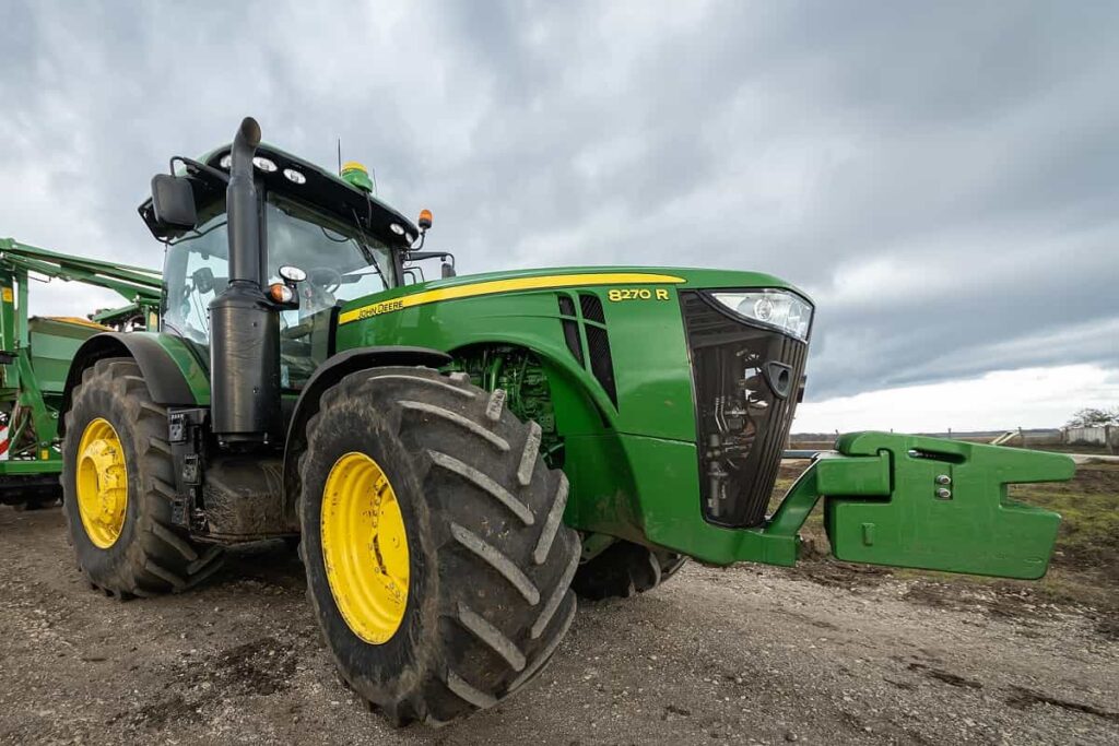
Ever-cheaper imagery from both drones and satellites, combined with the object- and pattern-detection capabilities of AI, are helping power the new era of precision agriculture. These aren’t the only technologies driving precision ag, however. Self-driving tractors from heavy-equipment manufacturers like Deere & Company (DE) are also steering agriculture down a road where autonomous solutions are designed to make farm operations more efficient. More efficient operations, the thinking goes, means less inputs of synthetic fertilizers and pesticides. Back in 2017, Deere paid $305 million to acquire computer vision startup Blue River, which had developed agricultural technology for precisely identifying and spraying weeds. Smart water monitoring technologies are also part of the equation of creating more sustainable agricultural practices. In other words, aerial imagery is only part of the picture when it comes to the farm of the future.
Share